DAY 8 (3rd September 2024)
Kazakhstan (Saty – Kolsai Lake again and Crossing the Border)
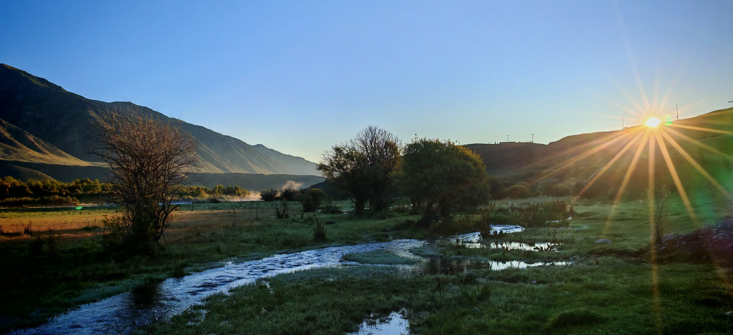
What a huge difference 24 hours made. FIL was already up at 5:00am, and immediately he went outside taking photographs of the sunrise and the changing colours of the panorama. The photographs he took behind the hotel (yeah, the same views as the day before) looked like a totally different place. The mist that descended on the area was replaced with a glorious sunshine that gave the whole area a different hue. And it was absolutely stunning.
As if we need further proof of what Saty has to offer….
We decided to make a run for Kolsai Lakes again, hoping to catch the lake in better lighting and to wipe out the poor memories of the place from the day before. MIL didn’t want to join us, so we left without her. Since our itinerary for this day was basically just to drive to Karakol, which is on the other side of the border into Kyrgyzstan, we wanted to make sure we didn’t miss this opportunity.
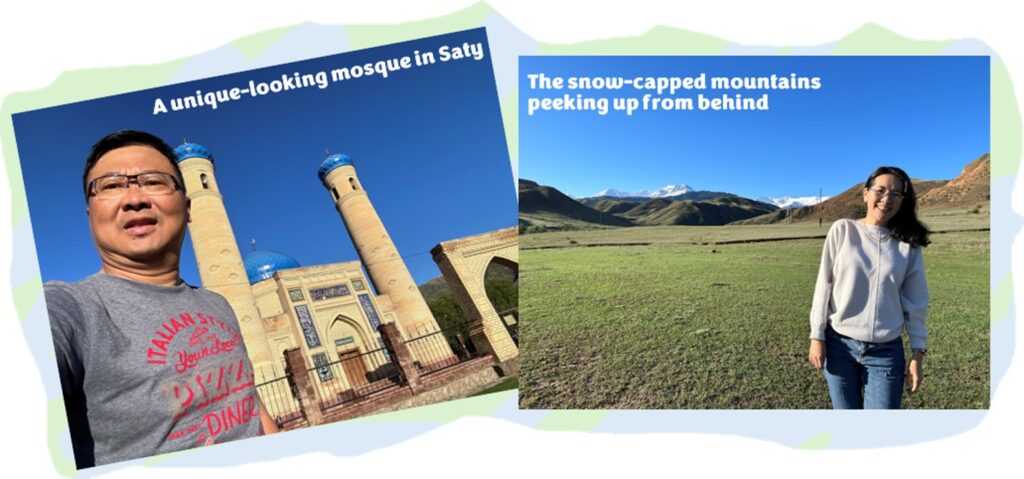
Saty Mosque and Ice-Capped Mountains
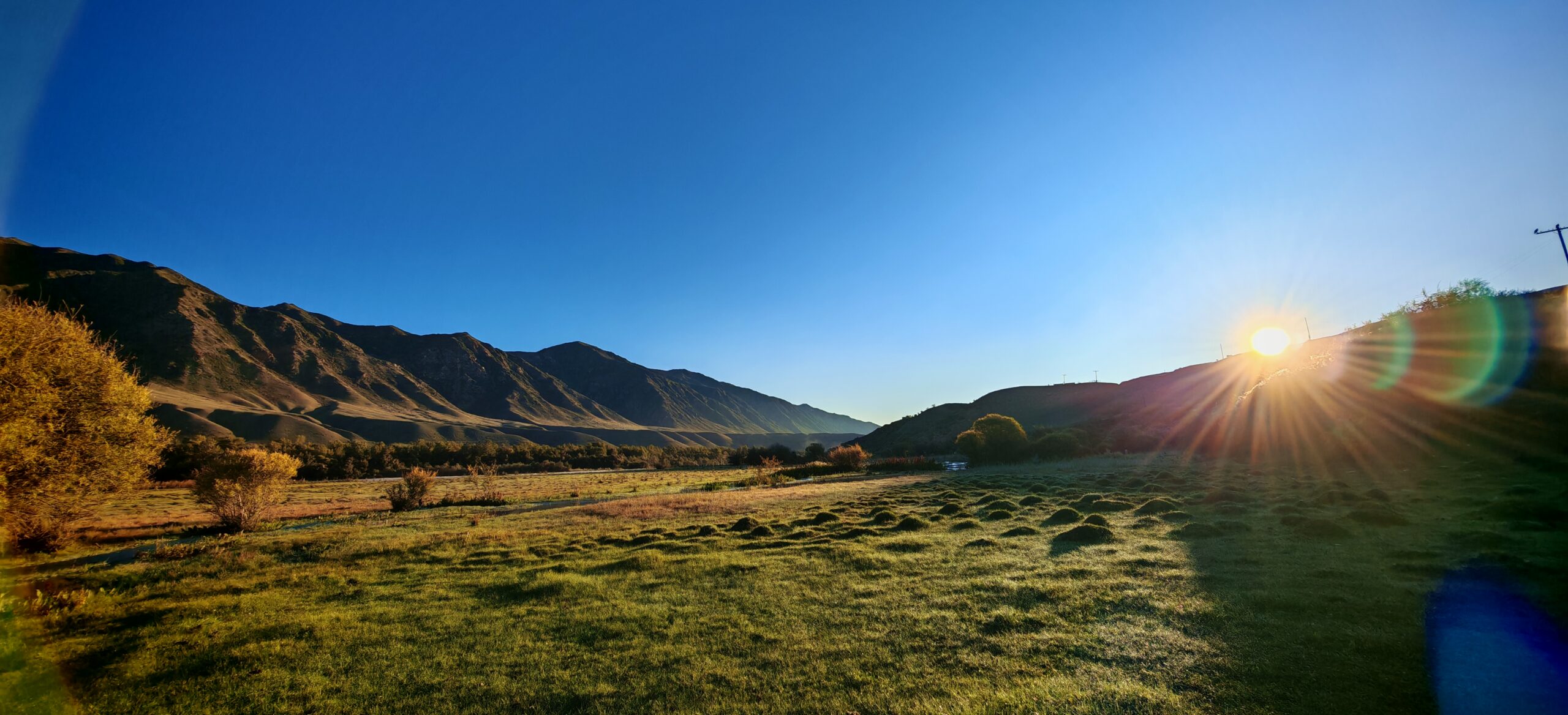
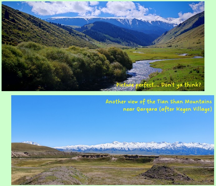
The day before, after driving through the village several times, I noticed that there was a unique-looking mosque, and so, on our way to Kolsai Lakes, we made a short stop to take some photos. While doing so, I noticed the distant snow-capped mountains peeking up from beyond the hills. The bad weather the previous day had totally hidden these mountains from us, and now we could finally see them. We tried to look for some better vantage points to take photos of the distant Tian Shan Mountains, without realising that as we travel south into Kyrgyzstan later, we would always be having the Tian Shan Mountains in front of us!
Imagine waking up every morning to this view....
Lower Kolsai Lake (again)
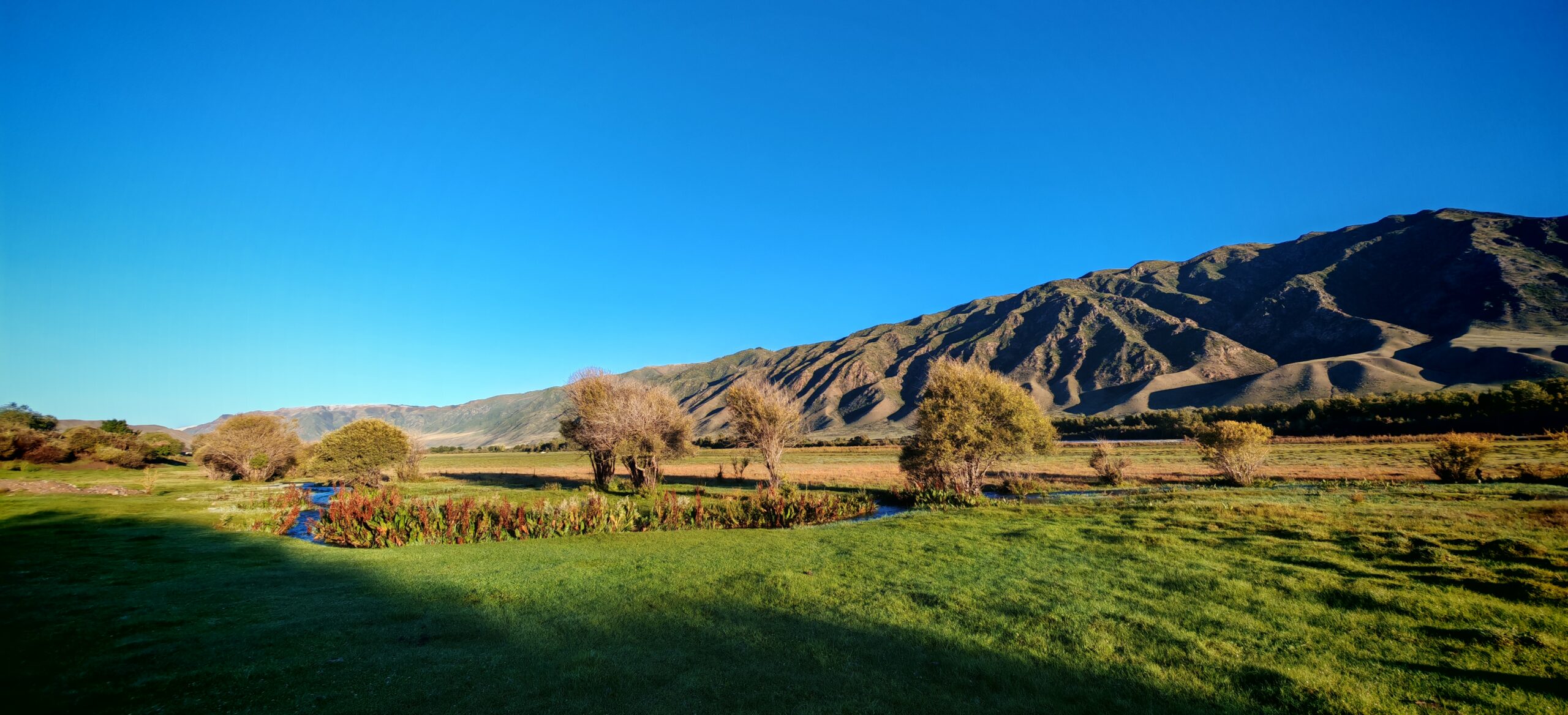
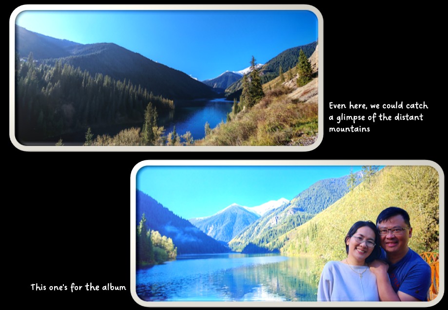
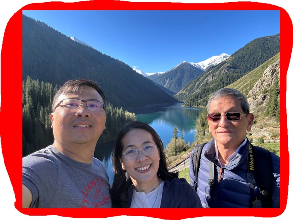
We made a beeline to the Kolsai Lakes National Park once more and for certain, the view was different. Since we were so early, there were no other tourists and the shops weren’t even open yet. We walked down to the lake and snapped some great photos, before returning to the resort. See for yourself whether the photos turned out much better!
Taken from the same place as the day before....
Drive to Karakol via Kegen
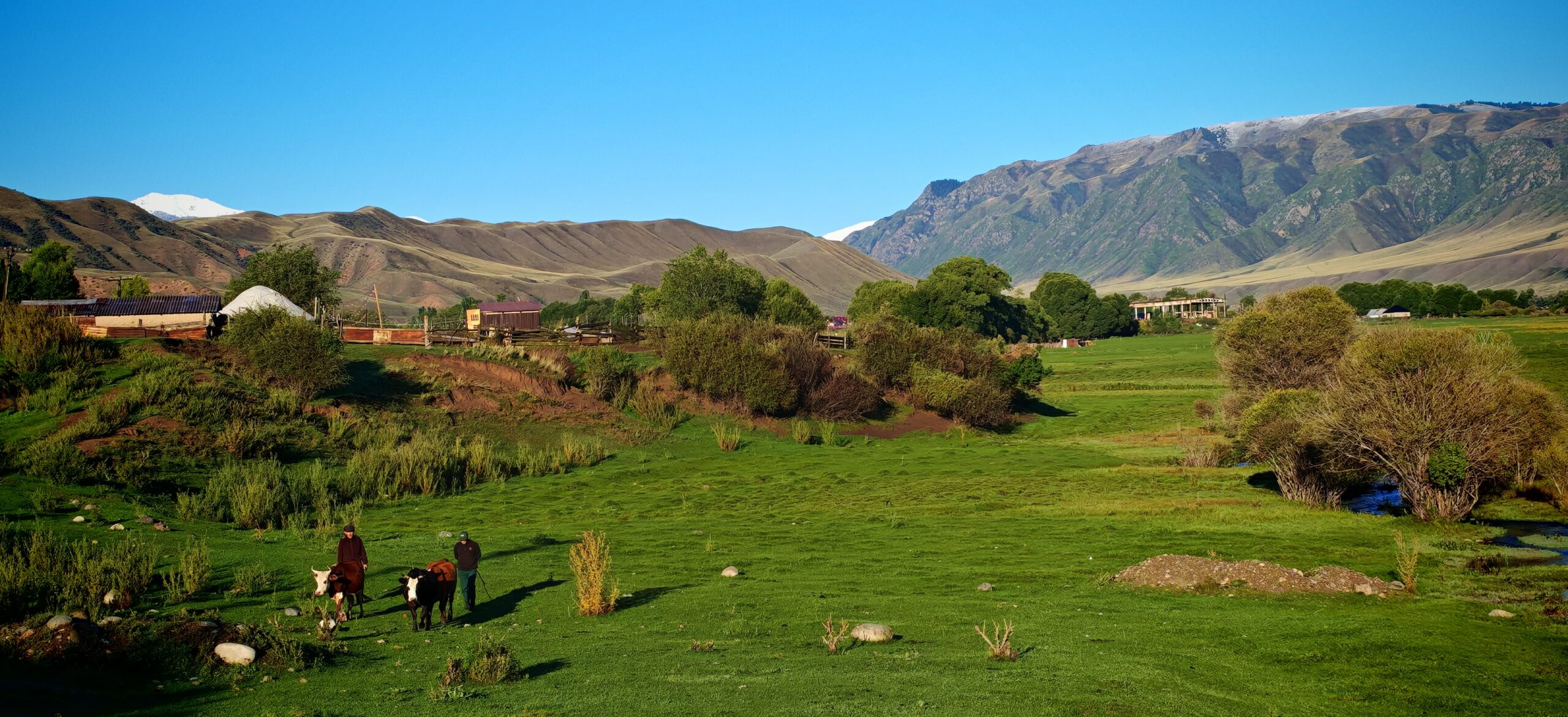
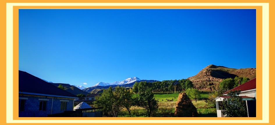
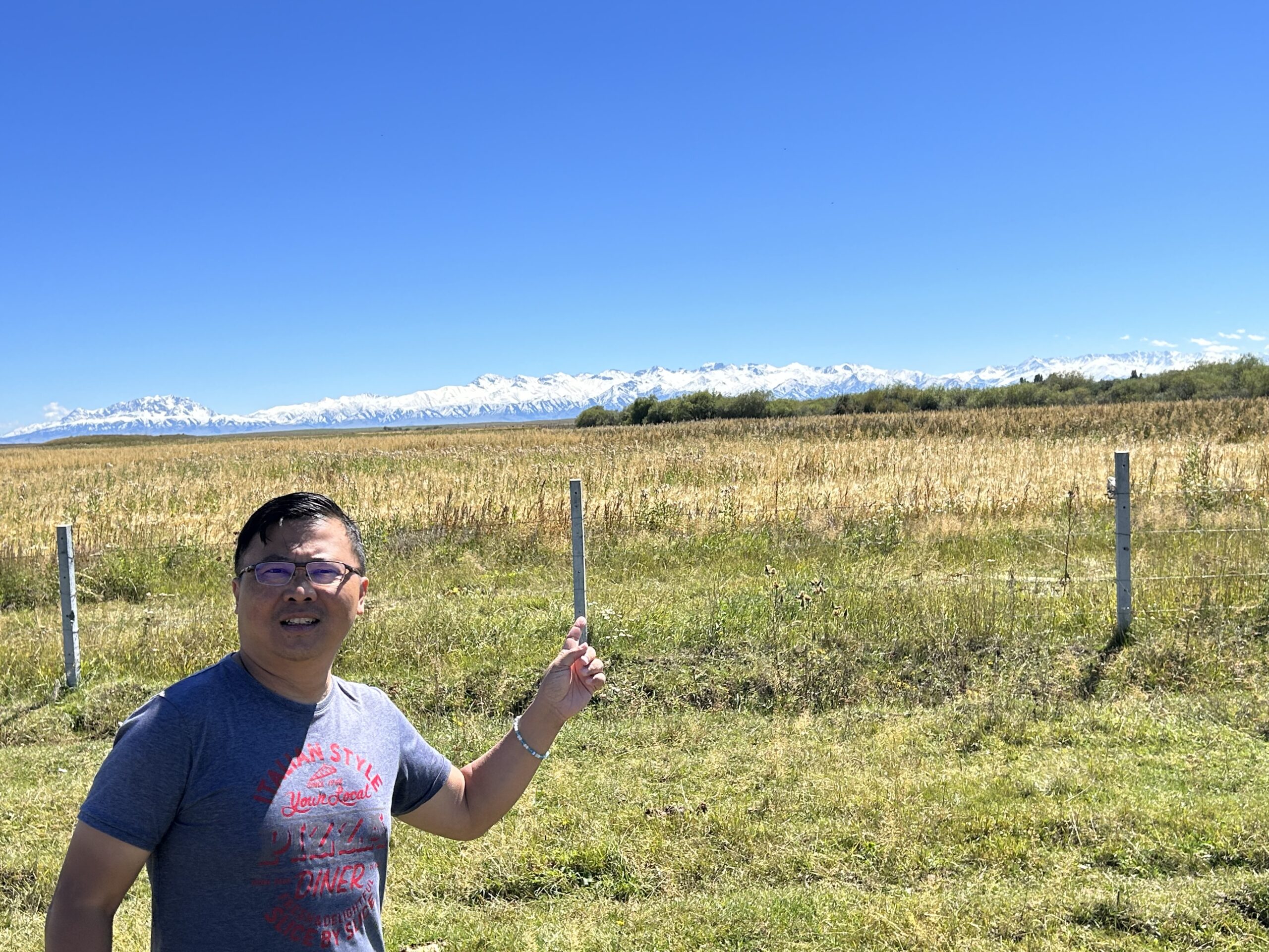
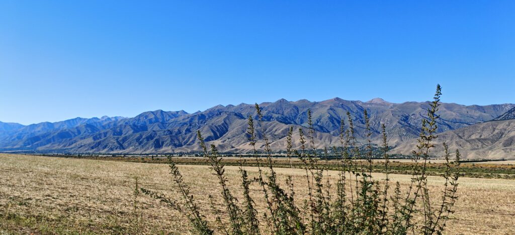
We got back to the resort and had our breakfast before packing up for the long drive ahead. The beautiful snow-capped Tian Shan Mountains in the distance was a constant companion along the drive. We stopped at various locations on the drive whenever we thought we found something unique. There are actually so many more beautiful views…
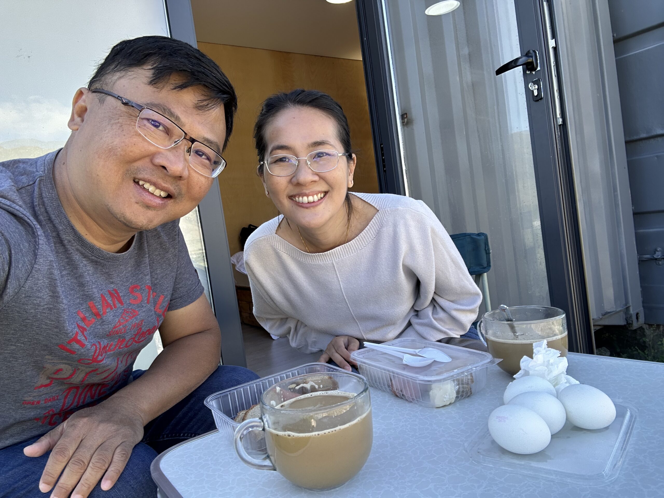
Simple breakfast of bread and eggs
Our constant companion on our drive....
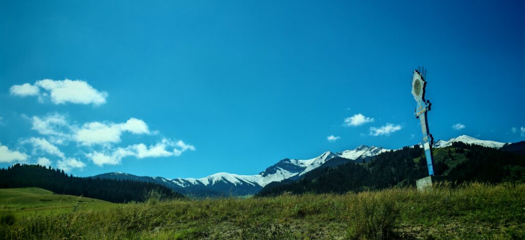
A lonely monument by the wayside....
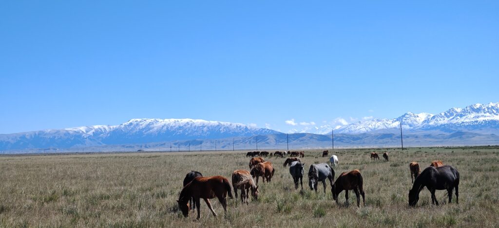
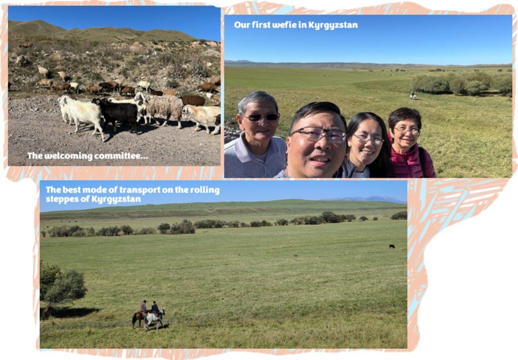
A band of horses grazing in the fields under the shadow of the mountains near Kegen….
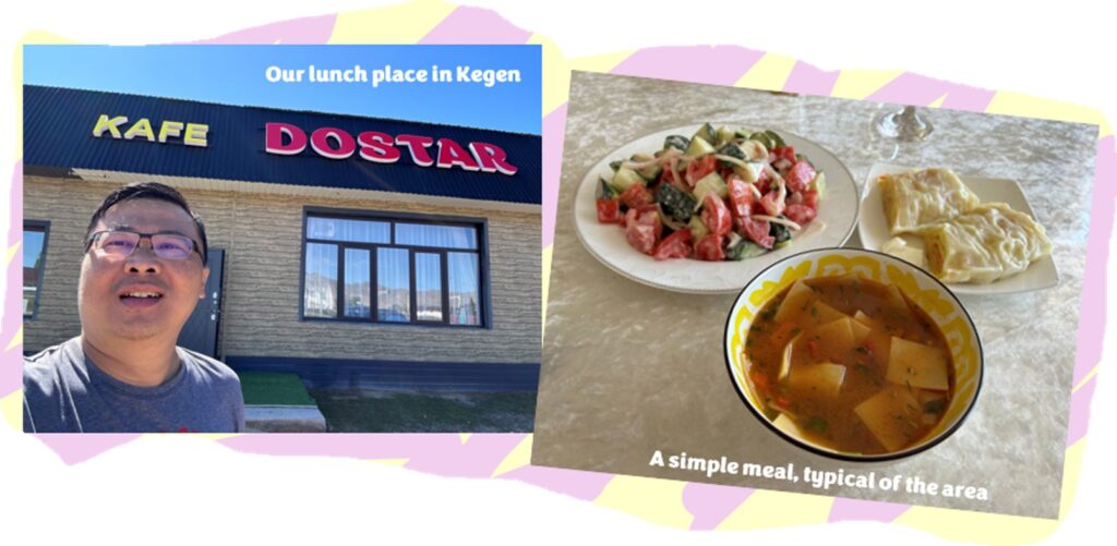
We arrived in Kegen right in time for lunch. It is the largest village prior to crossing into Kyrgyzstan, with a population of just over 9,000 people. We hunted around a bit for a place to grab a bite, and finally found this simple restaurant at the edge of town, named Café Dostar. Simple food, with the standard salad consisting of tomatoes, lettuce, cucumbers and onions.
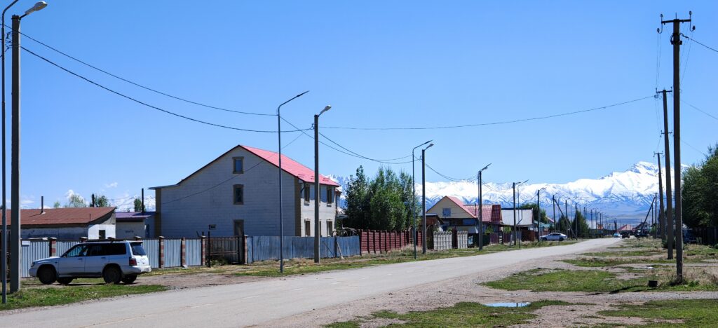
A look at Kegen, the last big village prior to crossing the border
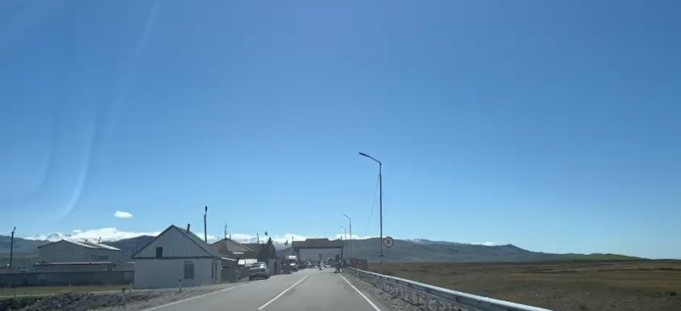
With a full tummy, we headed to the “unknown” – unknown because we are crossing an international border between two nations which do not speak the language that we are familiar with! We drove south from the town, and reach the border crossing by 1:50pm. It was a lonely outpost indeed, with just several huts acting as the immigration office along the road. And then the fences which stretch beyond what we could see…
Screenshot from a video taken by Wifey of the border crossing checkpoint….
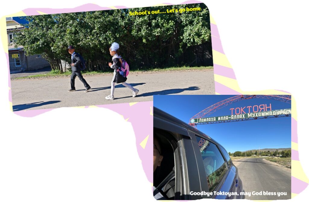
The crossing was smooth thankfully, and the officer offered some local SIM cards for our phones for access to the internet. In hindsight, we should have taken them, which would at least have given us some coverage as we travelled into Karakol. We thought it would be easy to find SIM cards at the nearest village along the way, but we were gravely mistaken. It was a good hour and a half before we arrived at Toktoyan and found a small village shop selling SIM cards. And, even then, we had to rely on the shop’s wi-fi to communicate using the translate app.
The view near Sary-Telegey
With that sorted for now, we continued our journey to Karakol, again, taking photos whenever we had the opportunity. The roads on this side of the border were being upgraded with visible construction works being carried out. This meant that the journey was slow going and bumpy. Just like earlier in Kazakhstan, there weren’t many vehicles on the roads, and made travelling pretty smooth.
Karakol
We arrived at Karakol, the fourth largest city in Kyrgyzstan, at around 5:00pm and the first order of business was to head to our hotel. The check in was smooth and our host was really fantastic – since we did not have any local currency, he offered to take us to town to get it changed. He also advised us that the hiking trail along the valley at Altyn Arashan or Karakol Gorge (the plan for the next day) may be too difficult and too far if we were not physically ready. He advised us to try the Ski Base Karakol instead.
Now We Know
Karakol was established as a Russian military outpost on 1st July 1869, but was renamed to Przhevalsk by Tsar Alexander III in 1889, in honour of a famous Russian explorer Nicolay Przhevalsk who died there a year earlier. The local populace protested, and in 1921, the town got back its original name. However, Stalin reversed the decision and changed it back to Przhevalsk in 1939 until the collapse of the Soviet Union in 1991. Say my name, say my name…. Well, let’s hope they don’t change it anymore!
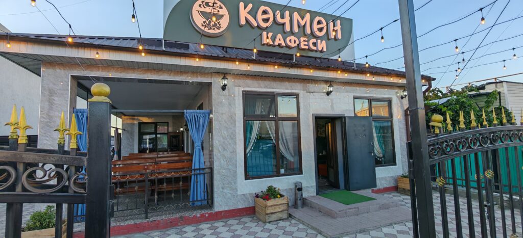
Once our currency matter was resolved, we started looking for places to eat, and our host proposed a few restaurants along Prjevalskogo Street, particularly the Dastorkon Restaurant. However, due to some confusion, we ended up at this small café which served local food. No complaints really – the food was good!
Serves local food....
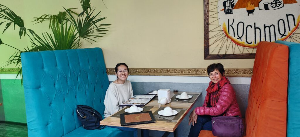
The ladies are hungry
Summary of Day 8
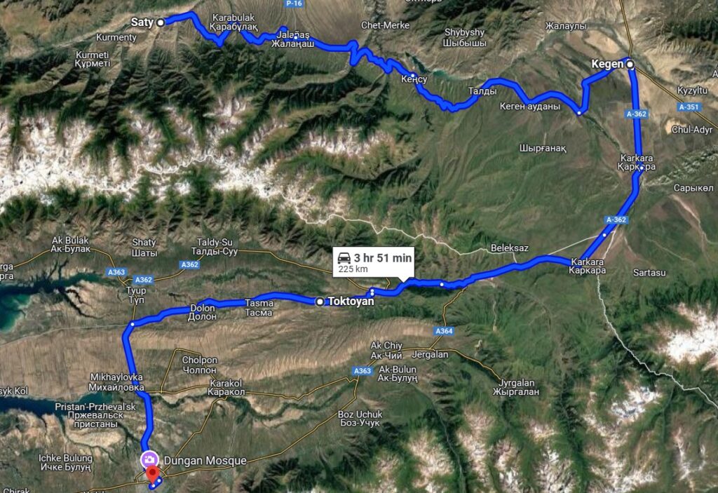
The long drive didn’t really feel like one. Mainly because of the excitement of crossing a land border, and the slight apprehension that we might not be able to cross over, due to missing documentation and such. And once that was safely overcome, the anxiety turned to looking for a mobile data plan for ease of travel (we needed the map app!). All in all, we travelled 225km from Saty to Karakol – with many stops along the way.
There were not many planned activities for the day either, although the original itinerary included a slight detour to Jyrgalan, a small picturesque village on this side of the border, since the main idea was just to drive across to a new country. The lack of the SIM cards for our phones also contributed to the decision not to venture out of the main path.
DAY 7 (30th September 2023) – SEOUL (Demilitarized Zone) Although not many people would consider this a touristy place per se, as an adventure traveller,